Scenic lineRiviera Line and Dawlish Sea Wall
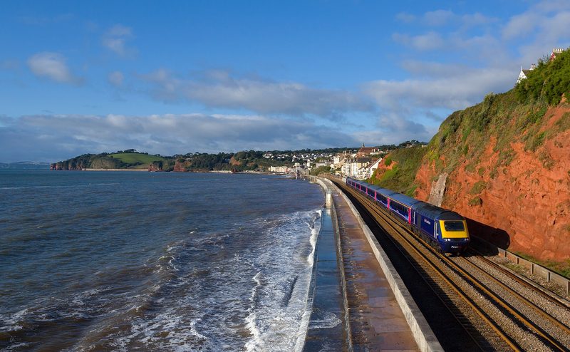
Brunel's railway along the Exe estuary and the open sea at Dawlish and Teignmouth, the most photographed stretch of main line in Britain.
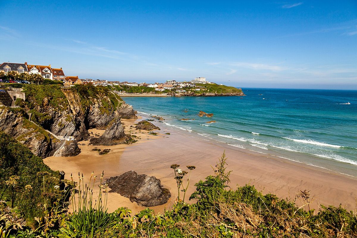
Photo: Richard Szwejkowski, CC BY-SA 2.0, via Wikimedia CommonsThrough the china clay country and the wooded Luxulyan valley, under Treffry's viaduct, to the surfing beaches of Newquay on Cornwall's north coast.
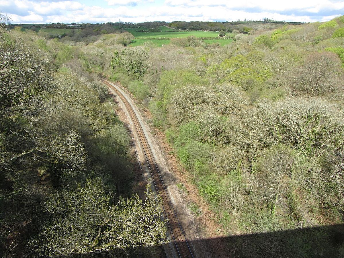
The Newquay branch starts at Par, beside the harbour built for the clay trade, and climbs the Luxulyan valley, a wooded gorge with the 1842 Treffry Viaduct, which carried a tramway and an aqueduct, striding over the railway. Luxulyan itself is a request stop in a UNESCO World Heritage mining landscape.
Beyond Bugle and Roche the line crosses the clay uplands, with the white spoil heaps known as the Cornish Alps, to St Columb Road and Quintrell Downs, then drops to Newquay station in the middle of town, a short walk from Fistral and Towan beaches. Since 2025 the branch has been upgraded as part of the Mid Cornwall Metro, giving through trains from Falmouth, Truro and Plymouth.
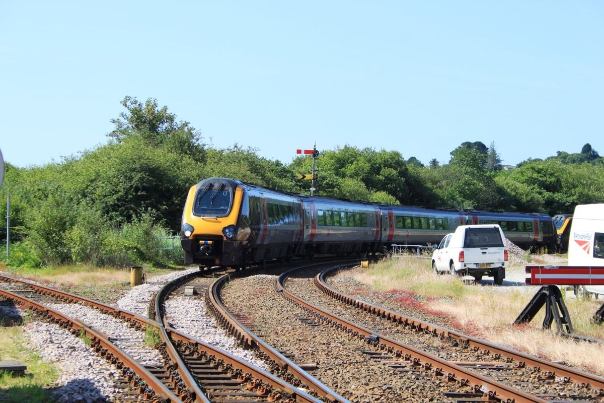
Class 150 and 158 units work the line. In summer the branch is busy with beach traffic.
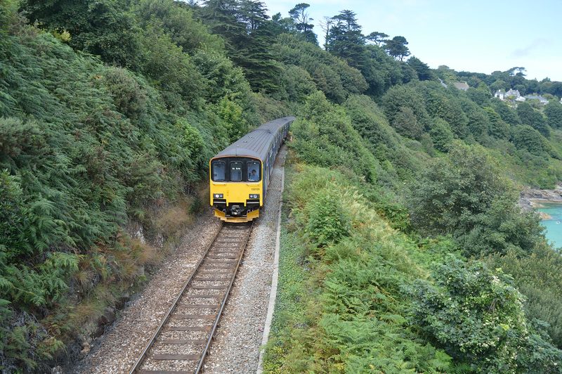
The line threads the Luxulyan valley and then crosses open clay country and moorland, with views on both sides.
Sides are given facing the direction of travel. Miles are approximate from the start of the journey.
In summer a few GWR services run through from Paddington to Newquay on Saturdays; otherwise change at Par.
A 2024–25 scheme that doubled the branch frequency and linked Newquay, Par, Truro and Falmouth with through trains.
Yes for walkers: the valley path passes the viaduct and the Carmears incline.
Scenic lineBrunel's railway along the Exe estuary and the open sea at Dawlish and Teignmouth, the most photographed stretch of main line in Britain.
Scenic lineFour miles along the cliffs above Carbis Bay and Porthminster beach to St Ives, widely rated the most beautiful branch line in England.
Scenic lineA twisting single-track branch that reverses at Coombe Junction and follows the tidal East Looe river down a wooded valley to the fishing port of Looe.